OFF PISTE GUIDING – TIME FOR HIKING
27.01.2016
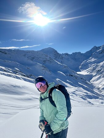
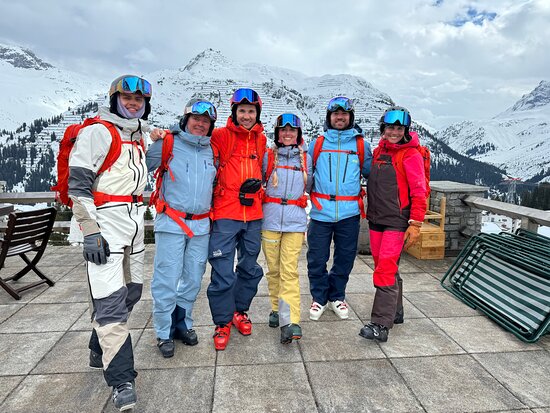
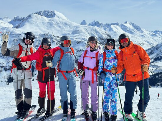
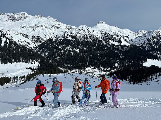
Off Piste Guiding St. Anton & Lech Zürs, Arlberg
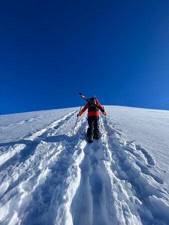
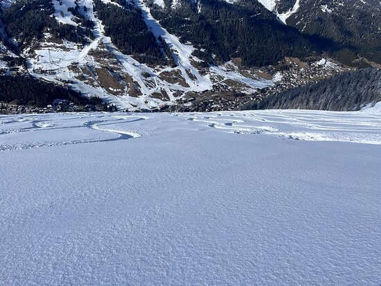
Last week we had very cold temperatures and snowfall (feeling like -20 with the wind chill) ensuring that snow remained dry. This week we see warm weather return and skiers preparing to hike to the excellent snow that can still be found even after several days of snowfall.
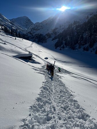
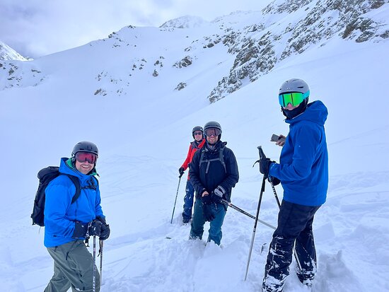
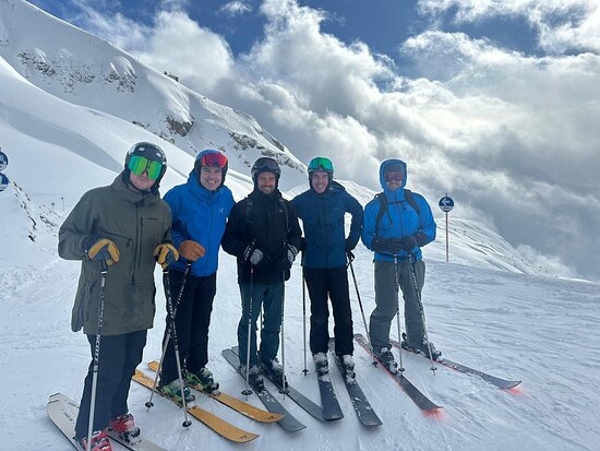
St. Anton is now in its best shape so far this winter with the snow depth on upper slopes reaching 160cm. This week as the temperatures rise, skiers prepared to hike a little can still find great snow and excellent runs on the north facing slopes around Stuben and Rendl. Particularly for those willing to do a short hike e.g. to Maroikopf which is always rewarded by spectacular views and descents into the Langen forest. Piste To Powder will guide you to the best terrain and make sure you get the best out of your day.
To prepare for a hike, pack a water bottle, high energy snacks such as nuts and dried fruit, high altitude sunscreen, a hat and thin gloves, skins if you have them and set out with one of our off piste guides to enjoy everything that off piste skiing in St Anton is all about!
Get your quote for your off piste guiding in St. Anton & Lech Zürs, Arlberg and join us for the best off piste skiing the area has to offer!